The rain has come and gone the last 24-36 hrs. Yesterday featured more rain than previously anticipated, and today has brought even more rain, which is a welcome sight! Even though we are in the heart of winter, we are still suffering from a drought, the worst of which occured this past summer. So any bit' of rain is welcome! And the best news is: more is on the way.
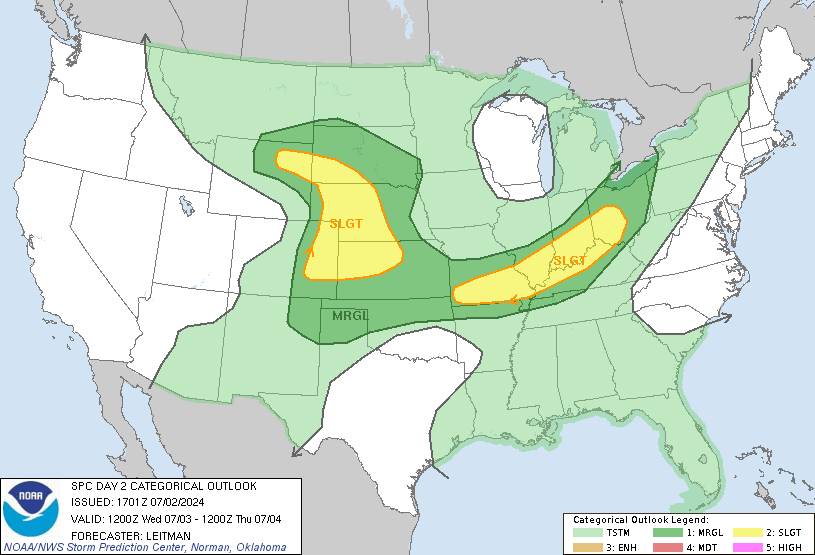
The Storm Prediction Center has issued a slight risk of severe thunderstorms Tuesday Night for our area. Not far to our West from Middle Alabama to Western Arkanasas lies a Moderate Risk of severe thunderstorms. Once again we have several things downplaying our chances of harsh storms. While we will most likely see storms with very gusty winds, the biggest threat appears to be to our West. Why? Well, for one, the timing of these storms is crucial. Based on current timing prospects, the storms are expected to cross our area in the middle of the night; not very favorable for the strongest storms. If this were to occur during the daytime our chances would be much greater. The other major factor is that our air appears to be more stable as well...a lot of this will depend on how much, if any, sun occurs tomorrow, and how warm the temperatures get. The warmer it is, the more "fuel" the storms have to work with.
But rain is a good bet though. Using a blend of the NAM/GFS models I would expect about an average of 1-11/2" of rain. So a good soaking to say the least. After that we should be heading into a cool, but drier pattern. But the airmass following this storm appears to be from the Polar regions rather than the Arctic regions, so it will still be rather mild compared to what it could be at this same of year. 50's (perhaps upper 40's) seem like a good bet.
I will update the chances for severe storms later on. As has been the case with the recent storms though, winds do appear to be quiet strong. So keep that in mind as you make plans later on tomorrow and Wednesday.
45 Days till' Spring
~Jordan
Monday, February 4, 2008
Monday: Midday Outlook
Subscribe to:
Post Comments (Atom)

No comments:
Post a Comment